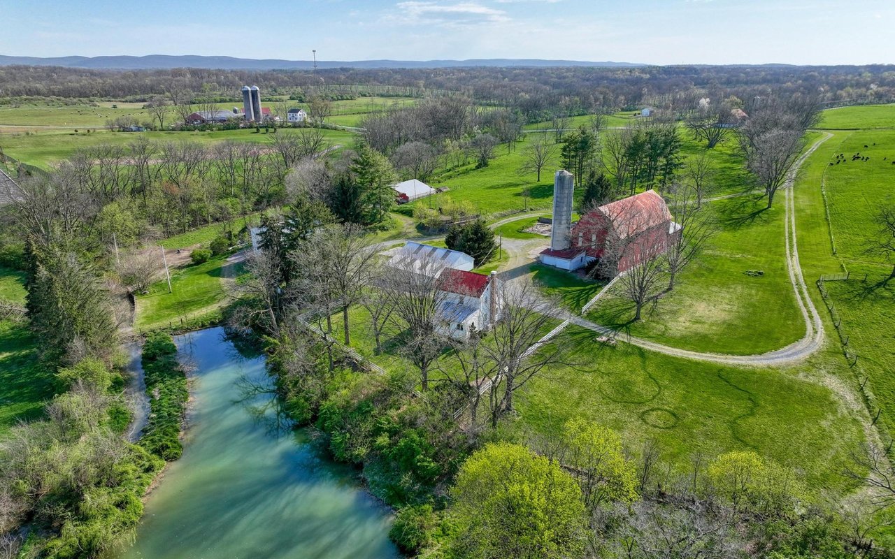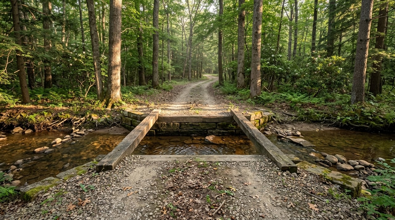
If you have ever walked a beautiful piece of land and started picturing campfires, trail rides, or a future cabin, you are not alone. Recreational ground in Perry County can be incredibly appealing, but a pretty view does not tell you whether the tract actually works for your goals. Before you fall in love with the setting, you need to verify the paperwork, the terrain, and the practical limits of the land. Let’s dive in.
Start With Access and Ownership
When you buy recreational land in Perry County, legal access should be one of the first things you confirm. The county Recorder of Deeds preserves land records and records real estate documents, so the deed trail is the place to verify recorded access, easements, shared-drive terms, and any deed restrictions. If access is only assumed and not clearly recorded, that can become a serious problem later.
It also helps to compare the deed with county tax and parcel information. Perry County’s Assessment Office maintains property record cards and aerial maps, and it points buyers to parcel data through Data Scout. That can help you spot outbuildings, older improvements, or boundary patterns that may not be obvious from a listing sheet.
If oil, gas, or mineral rights matter to you, do not assume those rights come with the surface. In Pennsylvania, ownership of oil and gas rights is specified in the property deed, and a thorough deed search is needed to determine what is included. On rural acreage, that step can matter just as much as the acreage total itself.
Check Clean and Green Status Early
A tract’s tax status can shape both your carrying costs and your future plans. Pennsylvania’s Clean and Green program bases taxes on use value instead of market value, which can be a major benefit for qualifying land. But if the use changes, the property can trigger seven years of rollback taxes plus 6 percent interest.
In Perry County, that matters because many buyers consider future changes such as a cabin site, a homesite, or a different recreational setup. One important nuance is that Agricultural Reserve land must remain open to the public for passive recreation free of charge, although reasonable restrictions are allowed. If privacy is part of your vision, that is something to understand before you make an offer.
Read the Terrain Before the View Wins You Over
Perry County sits in Pennsylvania’s Ridge and Valley landscape, and that creates major differences from one parcel to the next. Two properties with the same acreage can have very different real-world usability depending on slopes, ridges, hollows, rocky areas, and narrow valleys. A tract that looks large on paper may feel much smaller once you account for steep ground and limited access points.
This is especially important if you are thinking about trails, food plots, a small cabin area, or simple walkability from front to back. In parts of Perry County, steep and rocky ridges can limit how usable the land feels day to day. That does not make the property bad, but it does mean you should match the terrain to the way you actually plan to use it.
Use Topo Maps and Elevation Data
Topographic review is one of the fastest ways to understand a recreational tract before you spend time walking every corner. USGS The National Map and USGS topo maps show contour lines, ridgelines, creek bottoms, roads, trails, structures, boundaries, imagery, and elevation data. Those tools can help you spot flat benches, steep climbs, drainages, and historical travel corridors.
For many buyers, this step answers practical questions quickly:
- How hard is it to reach the back of the property?
- Is there a usable flat area for a campsite or cabin?
- Do trails make sense on the existing terrain?
- Are the best features spread out or concentrated in one area?
Review Soils and Drainage
Soils can tell you a lot about how land behaves. The NRCS Web Soil Survey is the official electronic source for soil survey information and provides data that can affect trails, food plots, ponds, and possible septic or camp uses. Wetness, drainage, and erodibility can all influence what is realistic on the ground.
That means a great-looking bottom field or opening may not perform the way you expect. If you are thinking about parking areas, improvements, or even seasonal use, poor drainage can change the equation quickly. A little time spent studying soils up front can save a lot of frustration later.
Check Flood Areas and Water Features
Water can add value and enjoyment, but it also adds due diligence. FEMA’s Flood Map Service Center is the official public source for flood hazard information and can help you identify flood zones, floodways, and special flood hazard areas near creeks, low bottoms, or lake edges.
In a place like Perry County, where some attractive ground sits near streams and hollows, flood review matters even for recreational buyers. You may not plan to build today, but flood exposure can still affect access, seasonal use, and future options.
Use Perry County Mapping Tools Carefully
Perry County gives buyers several useful public tools, including GIS mapping, parcel data, aerial maps, and historical imagery links. The county GIS also offers an interactive map, and the county links to tools like PASDA and Penn Pilot. These are excellent screening tools when you are comparing multiple properties.
Still, the county clearly states that its GIS data are provided as-is and disclaims responsibility for map errors. In other words, maps are helpful, but they are not a substitute for a survey, a title review, or on-the-ground verification. A map can start the conversation, but it should not be the final word.
A smart workflow often looks like this:
- Map the parcel boundaries and surrounding features.
- Read the recorded deed and easement language.
- Review flood, hydrology, and soil layers.
- Walk the property and confirm what exists on the ground.
- Compare the map and field observations with the title and any survey information.
Look at Historical Use, Not Just Current Appearance
A recreational tract can change a lot over time. Historical aerial photography can help you see former field edges, old lanes, timber openings, and clearings that are no longer obvious from current imagery or a quick walk-through. Perry County GIS links to Penn Pilot, which is a historical aerial photo library for Pennsylvania.
This can be especially useful if you want to understand hunting setups, trail potential, old homesites, or whether a property once had a more open layout. Sometimes the best future use becomes clearer when you understand the land’s past use.
If you see signs of a legacy oil or gas well, take that seriously. Pennsylvania DEP notes that abandoned wells can create health, safety, environmental, and financial concerns, and landowners should contact DEP if one is discovered. That is not something to brush off during a showing.
Measure Nearby Recreation Value
The value of recreational land is not only about what sits inside the boundary lines. It is also about what is nearby and how that affects your use of the property. In Perry County, Little Buffalo State Park is one of the area’s key recreation assets.
DCNR says Little Buffalo State Park spans 923 acres and includes the 88-acre Holman Lake. The park supports picnic, swimming, fishing, hiking, boating, camping, and hunting uses. For a buyer, proximity to a place like that can add convenience and make the area more enjoyable year-round.
Consider Fishing and Boating Access
If water recreation matters to you, Holman Lake is worth noting. DCNR says the lake offers year-round warmwater fishing and is designated a Big Bass Lake. Common species listed there include largemouth bass, catfish, panfish, trout, and muskellunge, and there are two public launches on the north side of the lake.
That kind of nearby amenity can make a Perry County tract more versatile. Even if your land does not have water frontage, being close to established fishing and boating access may still add to the overall lifestyle value.
Check Public Land Pressure
Nearby public land can be a major benefit, especially for buyers interested in hunting, hiking, or trail riding. But it can also change traffic patterns and seasonal activity. DCNR says Little Buffalo is close to Tuscarora State Forest and nearby State Game Lands 256 and 281, and the park itself has hunting opportunities.
That makes edge conditions worth checking in person. A property near public land may have strong access to outdoor recreation, but you also want to understand parking activity, boundary awareness, and how neighboring public use may affect your experience.
Verify Trails, Not Just Paths
Perry County includes notable trail assets such as the Tuscarora Trail, Iron Horse Trail, Fowlers Hollow Trails, and Tuscarora State Forest Southern Division Snowmobile Trails. Existing trail corridors can absolutely add appeal to a property or area. But from a buyer’s perspective, the key is confirming whether a route is a legal easement, a maintained public trail, or simply a user-made path.
That distinction matters. A visible trail on the ground may look useful, but if it is not legally established or maintained, you should not assume it adds lasting value to the parcel.
Check Planning and Future Use Questions
If you are buying with future plans in mind, do not wait until after closing to ask basic land-use questions. Perry County planning resources include subdivision and land development materials, zoning FAQs, and related planning tools. TCRPC GIS also includes zoning maps for individual municipalities.
This matters if your long-term plan includes a cabin, homesite, subdivision, or another use change. Some buyer questions sound simple, but they are the ones that protect you most:
- Is access actually recorded?
- Is any part of the parcel in a floodplain or wet hollow?
- Do soils fit the intended use?
- Are there nearby public lands or trails that affect privacy or traffic?
- Does Clean and Green help your plan or complicate it?
The buyers who answer those questions early usually make better decisions. The ones who skip them often end up with surprises that could have been avoided.
Why This Matters on Perry County Land
Recreational acreage in Perry County can offer steep ridges, narrow valleys, wooded privacy, nearby public recreation, and strong lifestyle appeal. But land should be evaluated as both a map-and-records purchase and a boots-on-the-ground purchase. The best outcomes usually come from combining title review, county records, GIS tools, environmental screening, and an in-person walk-through.
That is especially true when you are buying for a mix of recreation, legacy, and future flexibility. A tract may look perfect in photos, but the real value comes from understanding its access, terrain, tax status, and surrounding context before you commit.
If you are weighing a Perry County recreational property and want a practical, land-focused perspective, The Dustin Prievo Team at Whitetail Properties Real Estate can help you think through the details that matter most.
FAQs
What should buyers verify first on Perry County recreational land?
- Buyers should first verify recorded access, deed language, easements, restrictions, ownership details, and tax status through the Recorder of Deeds and county assessment records.
How does Clean and Green affect Perry County land buyers?
- Clean and Green can reduce taxes by valuing land based on use rather than market value, but a change in use can trigger seven years of rollback taxes plus 6 percent interest.
Why does topography matter on Perry County recreational tracts?
- Perry County’s Ridge and Valley terrain means that two parcels with similar acreage can have very different usability for trails, food plots, cabin areas, and general access.
What mapping tools help with Perry County land due diligence?
- Buyers can use Perry County GIS, assessment parcel records, TCRPC GIS, USGS topo tools, NRCS soil data, FEMA flood maps, DEP eMapPA, and historical aerial photography for screening and research.
What should buyers check near Perry County public land and trails?
- Buyers should confirm whether nearby trails are legal and maintained, and they should also evaluate how close public land may affect seasonal activity, parking, traffic, and boundary use.
Why are historical aerials useful for Perry County recreational property?
- Historical aerials can reveal old field edges, former lanes, timber openings, and past land uses that may affect current access, habitat, and future recreation plans.